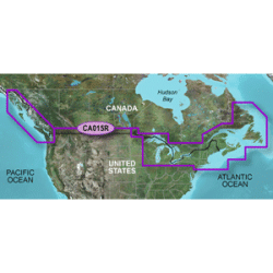
Model: 010-C1019-20
VIP Member Price!: $185.26
BlueChart g2 - HXCA015R - Canada - microSD /SD See your vessel's precise, on-chart position in relation to navaids, coastal features, anchorages, obstructions, waterways, restricted areas and more with this detailed marine mapping data.Features:Shaded depth contours, coastlines, spot soundings, nav..
$207.95
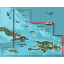
Model: 010-C0730-20
VIP Member Price!: $128.20
BlueChart g2 - HXUS029R - Southern BahamasHXUS029R Covers:Featuring data from Explorer Charts for the Bahamas. Detailed coverage from Eleuthera Island, Bahamas to the Dominican Republic, including the Bahamian islands of Great Exuma, Great Inagua, Mayaguana, and many others. Also includes detailed ..
$143.95
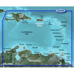
Model: 010-C0731-20
VIP Member Price!: $128.20
BlueChart g2 - HXUS030R - Southeast CaribbeanHXUS030R Covers:Covers the Caribbean from Haiti to Trinidad & Tobago, including Puerto Rico and all of the Lesser Antilles. Also includes the Colombian and Venezuelan coasts from Barranquilla, Colombia to the mouth of the Orinoco River, including Lake Ma..
$143.95
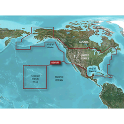
Model: 010-C1018-20
VIP Member Price!: $185.26
BlueChart g2 - HXUS039R - US All & Canadian West - microSD /SD See your vessel's precise, on-chart position in relation to navaids, coastal features, anchorages, obstructions, waterways, restricted areas and more with this detailed marine mapping data.Features:Shaded depth contours, coastlines, spo..
$207.95
Model: 010-C0722-20
VIP Member Price!: $128.20
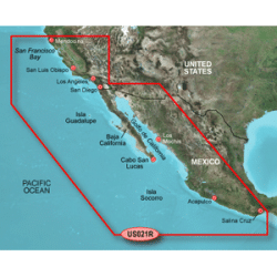
BlueChart g2 - HXUS021R - California - MexicoHXUS021R Covers:Point Arena to Puerto Vallarta, including Mendocino, San Francisco Bay, Channel Islands, San Diego, and the Baja Peninsula. General coverage for the Mexican coast, including Mazatlan, Acapulco and Salina Cruz...
$143.95
Model: 010-C0732-20
VIP Member Price!: $128.20
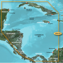
BlueChart g2 - HXUS031R - Southwest CaribbeanHXUS031R Covers:Detailed coverage of the northern coast of Central America from Cancun, Mexico to Barranquilla, Colombia, including the Panama Canal in its entirety. General coverage of the northern half of the Gulf of Panama. Also includes detailed cove..
$143.95
Showing 1 to 6 of 6 (1 Pages)

